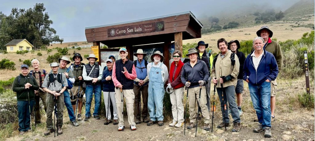
On June 5th we hiked 3.8 miles around Madonna Mountain (aka Cerro San Luis). It was a great hike with lots to see. Our photographer Barbara found a swing to use, and the trail is shaded most of the way. Most of the steepness on the hike
occurs at the very start then it is smooth sailing.
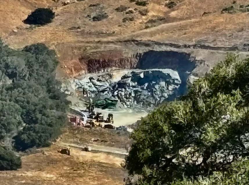
There are bubbling streams, and you can se the granite quarry at the base of Bishop Peak which is the source of rock going into slide repairs on Hwy 1. We passed through a lemon grove watered by an active spring. It was the destination in the 1800’s for folks riding up Carriage Road to picnic after church on Sunday.
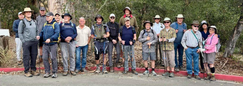
Then on Friday June 19th (see below), we hiked the Bowden Ranch Trail for the first time. This is a new trail currently under construction that begins at the end of Lizzie Street across from French Hospital. It goes up the mountain behind SLO high school to reach the old Fire Watch Tower. This was a medium hardness hike with a distance of 5 miles.
Our first hike in July will be on Friday the 3rd when we do the Panorama Trail west of Cuesta Grade. It is a SOFT hardness hike of 3.5 miles with an up waypoint total of 945 feet. It begins at the Old Stagecoach trailhead and
proceeds west. We will see the hairpin track loop and pass through a tunnel under the tracks.
For more information on our hikes, visit https://www.ramhikes.org.